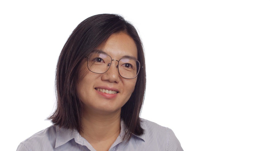
The Cyclones She Experienced as a Child Led to a Career in Hurricane Risk
Chia-Ying Lee is building models to improve our understanding of storm risk.

To clarify in advance: Both hurricanes and typhoons are types of tropical cyclones; typhoons is the term used to describe cyclones in most of the Pacific Ocean, while hurricanes is the term used to describe cyclones that affect the North Atlantic, including the East Coast of the United States.
All of those types of storms are of deep interest to Chia-Ying Lee, an associate research professor at Columbia Climate School's Lamont-Doherty Earth Observatory, who first became curious about typhoons while growing up in Taiwan.
“I think in general everyone in Taiwan is kind of interested in storms and cyclones because it’s such a common thing every summer,” Lee said in a recent interview.
In college, Lee took a class in atmospheric dynamics that piqued her interest in the science side of storms. She’s been studying extreme weather events ever since.
This August, Lee co-authored a paper that shows a counterintuitive finding about sea surface temperature patterns in the Pacific Ocean: While climate models anticipate the equatorial Pacific Ocean’s water to be warming on average due to climate change, the opposite in fact seems to be happening. The water in the equatorial Pacific is experiencing lower-than-average temperatures. Columbia News sat down with Lee to discuss the paper’s findings, and what they mean for weather patterns around the world and in New York City.
Can you describe the findings of this new paper?
Every couple of years, the Pacific Ocean experiences El Niño Southern Oscillation, also known as El Niño or ENSO, which is a rise in the sea surface temperature near the Equator in the eastern Pacific Ocean. The tropical Pacific becomes warmer than usual. In other years, we get La Niña, where the temperature in this region is cooler than usual. The temperatures in this region affect the weather not just in the Pacific, but globally.
As the climate warms because of an increase in greenhouse gasses in the atmosphere, global climate models have suggested that on average the tropical Pacific is moving more toward an El Niño-like pattern—warmer overall temperatures, more often.
But our observations show the opposite: We’re seeing cooling in the Pacific. It looks like a La Niña pattern, which suggests that the model is wrong.
The temperature of the Pacific has global effects, and in La Niña years, there also tends to be more hurricane activity in the Atlantic Ocean, too. So our finding is that if models are underestimating cooling, La Niña activity they may actually be underestimating how much hurricane activity we will face in the future.
We’re in New York, very far from the region you’re looking at. Why do the findings in this paper matter here?
El Niño affects weather across the world. One of our primary findings is that we can likely expect more and more intense East Coast hurricanes than our current models predict, due to this Pacific Ocean cooling—surprising, I know, to see effects from temperatures in one region of the Pacific all the way in the Atlantic.
There will be other effects, too; many weather patterns are affected by El Niño patterns. Areas of North America might see other changing weather, like drought or a change in the number of tornadoes they experience.
How does this paper fit in with your research in general?
I’m interested in the timing, duration and intensity of cyclones both next season and in the far future, and how that connects to the changing climate.
Since arriving at Columbia, I’ve been working on tropical cyclone risk assessments, to estimate the probability of cyclones making landfall at certain intensities. The tool I’ve developed with my colleagues here is called a statistical dynamical downscaling model. The model gathers information from global climate models and historic storms and then generates synthetic storms—models of how we’d expect a future storm to play out. We then use that to estimate storm risk in different places around the world.
We have private sector funders for this work, since the insurance and reinsurance industries are very interested in modeling hurricane risk. Obviously we’re very interested in the accuracy of the existing global climate models, since if those are wrong, then so are our risk projections.
You mentioned that your childhood in Taiwan is what got you interested in storms. Do you find that people you know from home have noticed the climate changing—storm frequency or intensity?
A few cyclones affect Taiwan every year. Because it’s so common, at least in Taipei, where I’m from, resilience is pretty good. There are mudslides and there have been disasters in inland areas especially. But where I’m from the infrastructure is ready for them. I do have one memory of a cyclone that flooded the subway, but then they built a preventive door to stop it from happening again.
You joined Columbia in 2013 as a postdoc before becoming a professor. What are your favorite things to do in New York when you’re not working?
It’s changing with time. For the first few years that I was here, I was very into SummerStage and free concerts in Central Park, and outdoor movies, like the ones they have at Lincoln Center. I also really like to play volleyball. I’m still interested in those, but nowadays I think I do more things up near the Tarrytown area, which is near our Lamont campus. I love to visit the Rockefeller State Park Preserve.
What do you hope that your research can achieve?
That’s something that’s also changing with time. In the past, I wanted to know more about hurricane dynamics, to improve the science of the physics of hurricanes. Now I still want that, but I also want these models to be better so that we can convert scientific knowledge to something that can be used by stakeholders to improve our resilience in the face of hurricanes.